Looq AI, a company specializing in ground-based reality capture, has announced a direct link between its photogrammetric platform and Trimble Business Center (TBC), enabling engineering and survey professionals to move georeferenced point clouds and orthomosaic images into Trimble’s environment without manual conversion, tells AEC Magazine.
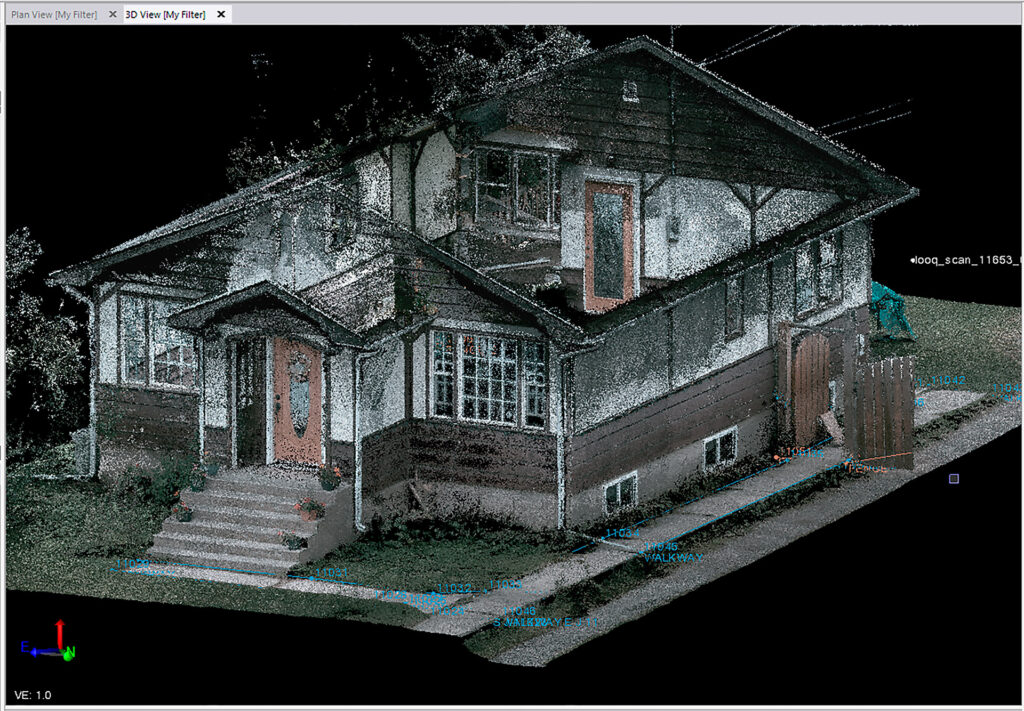
At its core, Looq combines handheld photogrammetry with 3D computer vision to generate detailed spatial datasets. The new integration means that “survey-grade” ground-classified data can seamlessly flow into desktop workflows, preserving precision while cutting out tedious preprocessing. Improvements on the Looq Platform include higher GNSS accuracy, enhanced capability for capturing underground assets, and better alignment with open spatial data standards.
Early adopters already report meaningful gains. AJ Surveying in San Diego used Looq with Trimble in environments where drone flights were restricted and achieved a 60% reduction in turnaround time and a 43% drop in survey costs. They used Trimble Connect along with TBC to coordinate deliverables and collaboration. McElhanney, a Canadian geomatics firm, has also adopted the workflow, citing improved field efficiency and enhanced data integration with clients.
The significance lies in how this integration streamlines what is often a fragmented survey workflow. Rather than exporting raw captures, reformatting files, or stitching tools manually, users can now ingest cleaned, classified data directly into a trusted desktop environment. That lowers friction between the capture and design phases.
The Looq-TBC link is more than a software bridge. It’s a step toward “field-to-finish” workflows that preserve data fidelity, shorten delivery cycles, and let professionals focus more on analysis than on file wrangling.