

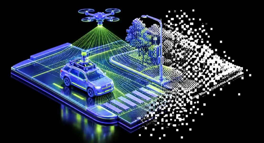
Artificial intelligence is transforming LiDAR data processing by automating the extraction of survey features from point clouds. However, the effectiveness of AI-assisted extraction depends heavily on data quality, sensor positioning, and the scanning method used. Mach9 examines the differences between mobile mapping and drone LiDAR to help surveyors select the appropriate technology.
Mobile LiDAR systems capture detailed information from road level, making them particularly effective for surveying curbs, pavement markings, signs, utility poles, and building facades. Their proximity to roadside features produces dense point clouds, while integrated panoramic imagery improves feature identification. However, data quality decreases farther from the vehicle, and obstacles such as fences and buildings restrict visibility.
Drone LiDAR provides broader coverage by scanning terrain and infrastructure from above. It is particularly useful for large sites, parking lots, subdivisions, and inaccessible areas. Flight altitude, speed, and overlap determine point cloud density. However, its overhead perspective makes capturing vertical surfaces, including curb faces and roadside signs, more difficult.
Mach9 identifies four factors affecting AI extraction quality: point density, viewing angle, physical obstructions, and supporting imagery. Insufficient data can produce incomplete linework, requiring additional manual drafting.
For aerial surveys, Mach9 recommends a minimum density of 400 points per square meter. Its project experience indicates that approximately 650 points per square meter, collected using cross-grid flights, can reveal distinct curb lines.
The company also recommends combining mobile and drone datasets when projects require detailed road features and comprehensive terrain coverage. Processing both datasets within one environment allows technicians to compare point clouds, extract features, and export consistent CAD linework.
Importantly, neither scanning method inherently guarantees superior accuracy. Ground control and positioning workflows remain essential for survey-grade results.
The article emphasizes that successful AI-assisted extraction begins with capture planning. Selecting the appropriate LiDAR method can improve automated drafting quality, reduce manual corrections, and produce more reliable engineering deliverables.
