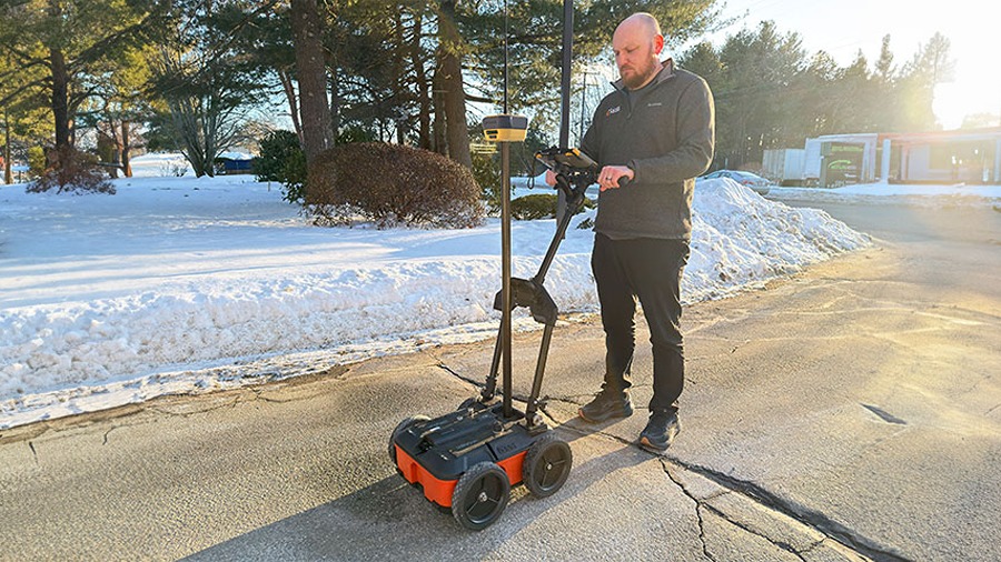
LAS VEGAS, NV, Mar 12, 2026 – Topcon Positioning Systems and Geophysical Survey Systems (GSSI) are integrating ground penetrating radar with GNSS positioning technology for infrastructure and construction surveys. The collaboration combines GSSI’s radar systems with Topcon’s GNSS receivers and mass data workflow software. The integrated solution will support subsurface mapping and data collection across infrastructure projects and construction sites.
“GSSI is a long-standing industry leader in ground penetrating radar (GPR) systems, and we are excited to work with them on providing industry professionals with an advanced, integrated solution,” said Ron Oberlander, head of the Topcon Geomatics Platform. “By combining GSSI’s GPR technology with Topcon’s HiPer XR GNSS receiver, Topnet Live correction services, and Collage Web mass-data workflow software, we are bridging subsurface detection and spatial context from field to analysis.”
“Collaborating with Topcon allows us to unify GPR data and GNSS data to deliver visual, decision-ready insights, providing a more complete picture of the world above and below the surface,” said Chris Green, chief executive officer of GSSI. “Together, GSSI and Topcon are helping customers plan smarter, validate faster, and deliver higher quality outcomes with fewer surprises.”
Source: Topcon Positioning Systems
About Topcon Positioning Systems
![]()
Topcon Positioning Systems, founded in 1994 and based in Livermore, CA, provides precision measurement and workflow solutions for construction, geospatial, and agriculture sectors. Its products include GPS receivers, robotic total stations, laser scanners, and mobile mapping solutions focused on productivity and accuracy in field operations. As a subsidiary of Topcon Corp., the company draws on long-standing legacy in optical and positioning technologies. Topcon Positioning Systems employs about 1,000 people and operates on six continents through a network of 93 subsidiaries and affiliates.
About GSSI

GSSI, also known as Geophysical Survey Systems, Inc., is a technology company that designs and manufactures ground penetrating radar systems for subsurface inspection and imaging. The company develops radar equipment, antennas, and data processing software used to detect objects and structures below ground or within materials. Its products support applications such as concrete inspection, utility locating, pavement analysis, bridge deck evaluation, archaeology, geology, and environmental surveys. GSSI serves engineers, construction contractors, government agencies, infrastructure inspectors, and research organizations. The company also provides training and technical support for users of ground penetrating radar equipment. GSSI was founded in 1970 and introduced one of the first commercial ground penetrating radar systems in 1974. The company is headquartered in Nashua, NH.