

Site boundaries influence nearly every calculation in an architectural feasibility study, from setbacks and floor-area ratios to parking, access, landscaping, and building footprints. Snaptrude argues that architects should therefore verify boundary information before using it to make critical design decisions.
A site boundary verification checklist establishes whether available parcel geometry is appropriate for a particular project stage. It does not replace a professional survey or legal boundary determination. Instead, it records the source, survey date, coordinate reference system, units, accuracy, control points, easements, conflicts, responsible parties, and verification status.
Different sources can describe the same property differently. Planning maps may be adequate for early screening, while topographic surveys provide physical features and levels. Title plans and cadastral records offer ownership context, and legal documents describe rights and obligations. Teams should understand what each source represents rather than assuming every boundary line has equal authority.
Snaptrude recommends a systematic workflow. Teams should first define the decision the boundary must support and the required confidence level. They can then collect original source files, normalize coordinate systems and units, inspect geometry, compare physical and documentary information, and record discrepancies in a conflict log. The approved working boundary should have a defined revision and purpose.
Geometry also requires careful inspection. Parcel loops should close correctly, dimensions and areas should match available source information, and duplicate edges or import errors should be removed. However, cleaned geometry should remain separate from the original source.
Uncertainty should also affect feasibility conclusions. If a disputed boundary could change parking capacity, setbacks, access, or unit counts, teams should model credible alternatives instead of presenting one precise result.
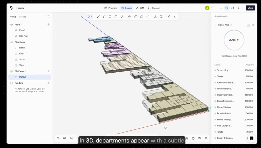
Snaptrude supports this process by connecting site geometry with massing, area analysis, program requirements, parking, and BIM information. The platform can show the design consequences of boundary changes, but legal verification remains the responsibility of qualified professionals.
