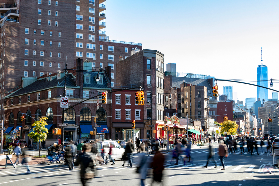
Researchers at the Massachusetts Institute of Technology have built a complete, routable pedestrian-traffic model for New York City, offering the first city-wide map of foot movement in the United States. The team assembled detailed data on sidewalks, crosswalks, and footpaths to create a model that reflects where and how people walk throughout the five boroughs. Planners and urban designers have long tracked vehicle traffic but lacked similarly comprehensive data for pedestrians. This new resource fills that gap by quantifying pedestrian volumes and providing tools to assess non-motorized mobility across the city.
The model, led by Andres Sevtsuk of MIT’s Department of Urban Studies and Planning, can support decisions about where to invest in pedestrian infrastructure, manage public space, and enhance safety. By combining sidewalk and street networks with estimates of foot traffic, researchers can identify locations with both high walking volumes and heightened risk of traffic crashes. Such insights could help officials prioritize sidewalk improvements, pedestrian signals, and traffic calming measures in areas that yield the greatest benefit. The model shows that high pedestrian density isn’t limited to iconic places such as Times Square or lower Manhattan; residential streets and commercial corridors elsewhere in the city also host substantial foot activity.
Beyond infrastructure planning, the dataset has potential applications in transportation equity and urban resiliency studies. A detailed picture of pedestrian flow allows planners to consider how street design affects people who walk by necessity rather than choice, including older adults, children, and residents in underserved neighborhoods. It also creates a foundation for evaluating the effects of new developments or policy changes on pedestrian movement. As cities explore ways to make streets safer and more livable, this model provides a quantitative basis for understanding what pedestrians experience on the ground.