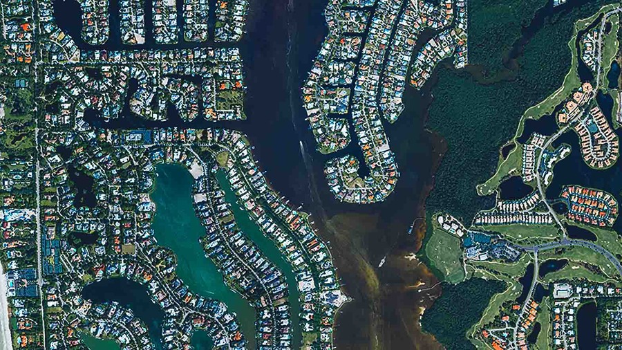
STOCKHOLM, Sweden, June 12, 2025 – Hexagon AB has entered into an agreement to acquire Aero Photo Europe Investigation (APEI), a French company focused on aerial mapping. The acquisition aims to enhance Hexagon’s geospatial data platform capabilities.
APEI owns and operates a fleet of private aircraft focused on aerial data collection in France, nearby European countries, and Africa. As a partner of Hexagon, APEI uses Hexagon’s sensors and processing tools and contributes to the Hexagon Content Program, which maintains one of the largest libraries of aerial imagery and elevation models in the US and Europe. This content is a key component of HxDR, Hexagon’s cloud platform for spatial data storage, visualization, and collaboration. Acquiring APEI will strengthen Hexagon’s capacity to meet the need for geospatial data.

“France is one of the largest geospatial data markets in the EU, driven by the French government’s ambition to maintain updated mapping content of the entire country,” said Norbert Hanke, interim president and CEO of Hexagon. “This acquisition enhances our ability to engage with this opportunity and positions us for other governmental programs in Europe and Africa.”
APEI, supported by around 10 employees, will be reported within Hexagon’s Geosystems division and is expected to generate revenues of around ~3 MEUR in 2025 with margins similar to Hexagon levels. Completion of the transaction is expected to be finalized by the end of Q2 2025.
Source: Hexagon
About Hexagon

Hexagon AB, founded in 1975 and headquartered in Stockholm, Sweden, provides digital reality solutions by integrating sensors, software, and autonomous technologies. Its products and services are used across sectors such as manufacturing, construction, mining, agriculture, aerospace, automotive, and defense. Core offerings include reality capture, intelligent positioning systems, industrial design, and situational intelligence tools. Over the years, it has pursued a strategy of growth through acquisition, completing over 170 acquisitions since 2000. As of December 31, 2024, the company reported net sales of approximately €5.4 billion and employed around 24,800 people across 50 countries. The company continues to expand its global customer base, reflecting its commitment to innovation and digital transformation.
About APEI

Aero Photo Europe Investigation provides aerial survey and investigation services using high-resolution imagery and data analysis. It serves industries such as environmental monitoring, construction, agriculture, insurance, and law enforcement. The company uses drone technology and photogrammetry to conduct site assessments and support incident investigations. Headquartered in France, it offers services throughout the European region. Its work includes integrating geographic information system (GIS) data to assist public and private sector projects. The company aims to use aerial data to support decision-making, improve operational processes, and provide documentation for regulatory and legal needs.
